| Inventory Number: | WV/48-32-01 | | County: | Monroe County | | Township: | Springfield | | Town/Village: | | | Bridge Name: | Laurel Creek or Lillydale or Arnott | | Crosses: | Laurel Creek | | Truss type: | Queen | | Spans: | 1 | | Length: | 25' | | Roadway Width: | 13' | | Built: | 1911 | | Builder: | Lewis Miller (abutments), Robert Arnott (bridge) | | When Lost: | standing | | Cause: | | | Latitude: | N37 33.675 | | Longitude: | W080 37.589 | | See a map of the area
Topographic map of the area | | Directions: | 3.2 miles southwest of jct WV3 on US219, then 2.8 miles right on Lillydale / Back Creek Rd. (CR219/7), then 1.2 miles right on Laurel Creek Rd. (CR23/5), then 0.7 miles left on CR219/11 and 0.2 miles left on CR23/4. Southwest of Union. |
|
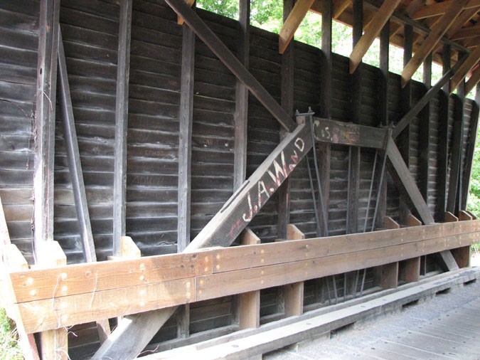
Laurel Creek or Lillydale or Arnott Bridge, Springfield, Monroe County, WV Built 1911
Bill Caswell Photo, July 27, 2008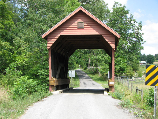
Laurel Creek or Lillydale or Arnott Bridge, Springfield, Monroe County, WV Built 1911
Bill Caswell Photo, July 27, 2008
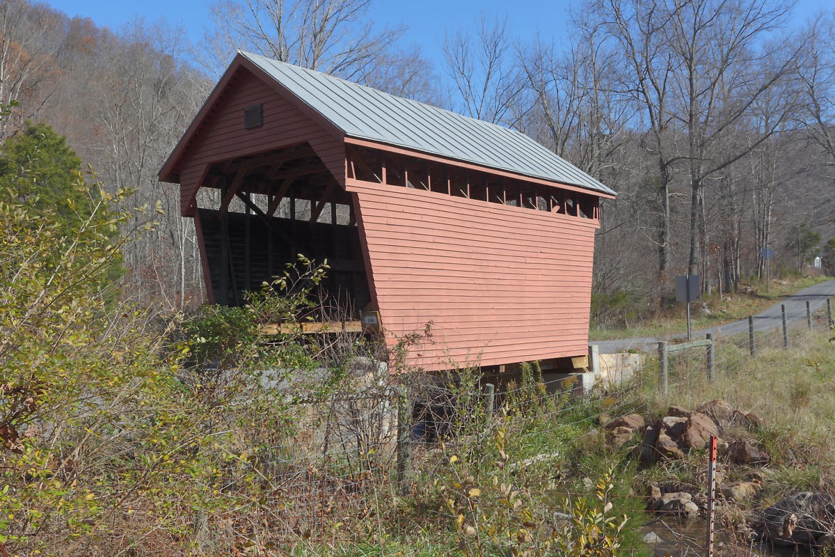
Laurel Creek or Lillydale or Arnott Bridge, Springfield, Monroe County, WV Built 1911
Bob Sheldon Photo, November 7, 2009
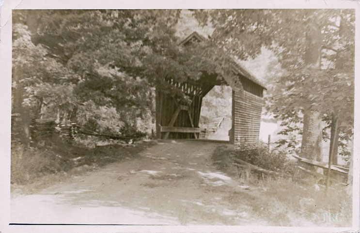
Laurel Creek or Lillydale or Arnott Bridge, Springfield, Monroe County, WV Built 1911
Todd Clark Collection
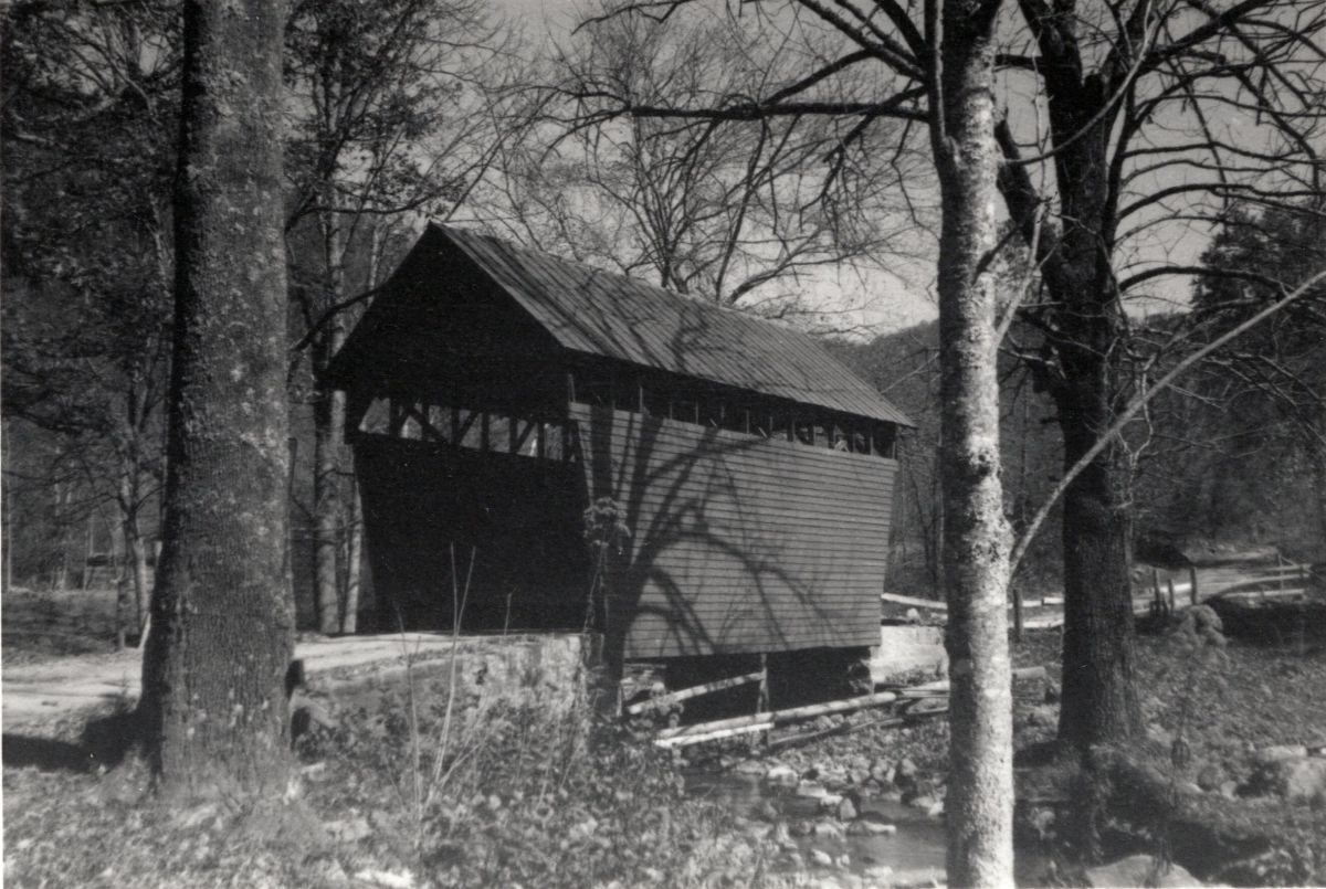
Laurel Creek or Lillydale or Arnott Bridge, Springfield, Monroe County, WV Built 1911
B. Drake Photo, October 19, 1962, Richard E. Roy Collection, NSPCB Archives
|
Sources:
Auvil, Myrtle. Covered Bridges of West Virginia Past & Present, 1973, page 68
National Society For the Preservation of Covered Bridges. Covered Bridge Topics, Volume XXXIV, No. 3, Summer 1976, page 13
Wood, Miriam F. & Simmons, David A.. Covered Bridges: Ohio, Kentucky, West Virginia, 2007, pages 271, 278
National Society for the Preservation of Covered Bridges. World Guide to Covered Bridges, 2021, page 160 |