| Inventory Number: | VT/45-12-28x | | County: | Washington County | | Township: | Fayston | | Town/Village: | South Fayston | | Bridge Name: | German Flats or Lower | | Crosses: | Mill Brook | | Truss type: | King | | Spans: | 1 | | Length: | | | Roadway Width: | | | Built: | | | Builder: | | | When Lost: | unknown | | Cause: | | | Latitude: | N44 11.11 | | Longitude: | W072 52.32 | | See a map of the area
Topographic map of the area | | Directions: | German Flats Road near its intersection with VT 17. |
|
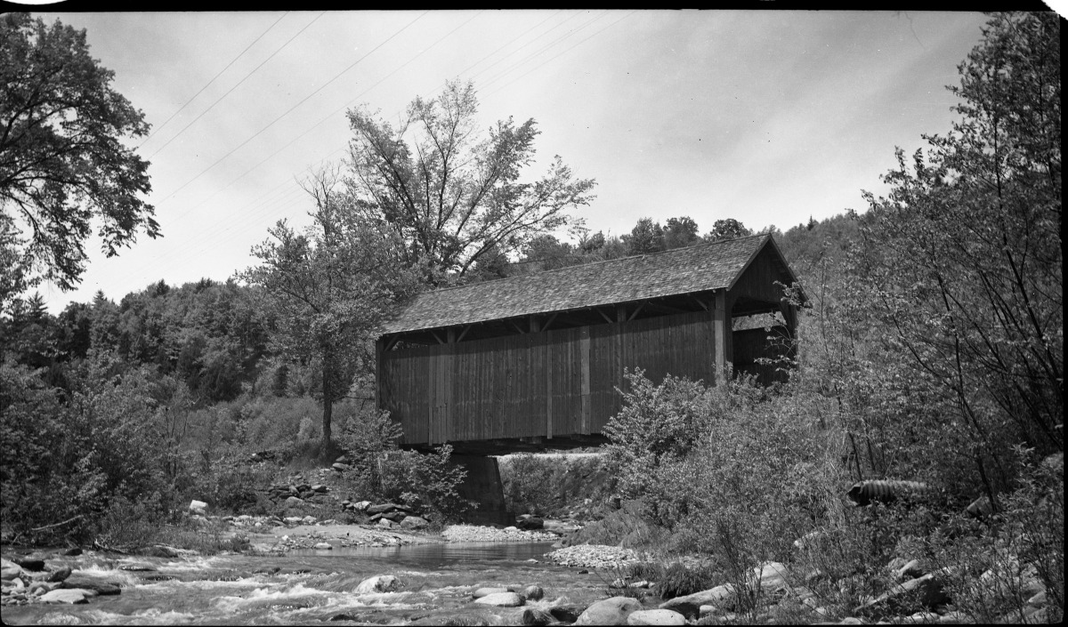
German Flats or Lower or Irasville Bridge, Fayston, Washington County, VT
Raymond Brainerd Photo, June 8, 1952, NSPCB Archives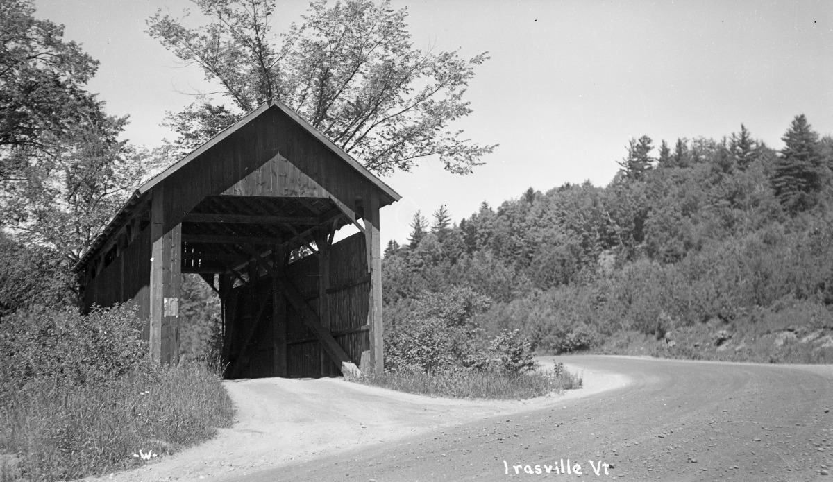
German Flats or Lower or Irasville Bridge, Fayston, Washington County, VT
C. E. Walker Photo, Richard E. Roy Collection

German Flats or Lower or Irasville Bridge, Fayston, Washington County, VT
Louis B. Puffer Collection
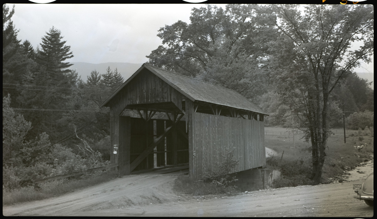
German Flats or Lower or Irasville Bridge, Fayston, Washington County, VT
Henry A. Gibson Photo, June 11, 1948, NSPCB Archives
|