| Inventory Number: | VT/45-06-45x | | County: | Franklin County | | Township: | Enosburg | | Town/Village: | North Enosburg | | Bridge Name: | North Enosburg | | Crosses: | Missisquoi River | | Truss type: | Burr | | Spans: | 1 | | Length: | 214' | | Roadway Width: | | | Built: | | | Builder: | | | When Lost: | Nov 1927 | | Cause: | Flood | | Latitude: | N44 55.19 | | Longitude: | W072 45.42 | | See a map of the area
Topographic map of the area | | Directions: | |
|
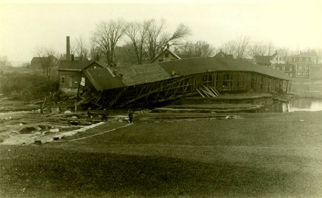
North Enosburg Bridge, Enosburg, Franklin County, VT Flood Nov 1927
Todd Clark Collection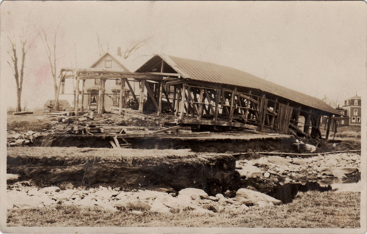
North Enosburg Bridge, Enosburg, Franklin County, VT Flood Nov 1927
Todd Clark Collection
|
Sources:
NSPCB Archives, Richard Sanders Allen Collection, Paper Files, Vermont Lists & Maps, Folder 1
Atwood, R.E.. Stories and Pictures of The Vermont Flood, 1927, page 24 |