Documenting North America's past & present covered bridges


Home

East Highgate, Franklin County

If you find errors in the data please contact Bill Caswell.

If you would like to provide information on covered bridges that no longer exist from your state, or adopt a state to work on, we would certainly welcome your assistance. Please contact Trish Kane for more information.

Inventory Number: VT/45-06-29x
County: Franklin County
Township: Highgate
Town/Village: East Highgate
Bridge Name: East Highgate
Crosses: Missisquoi River
Truss type: Burr/Arch
Spans: 2
Length: c300'
Roadway Width:
Built: 1850
Builder:
When Lost: Nov 1927
Cause: Flood
Latitude: N44 55.63
Longitude: W072 59.28
See a map of the area
Topographic map of the area
Directions:

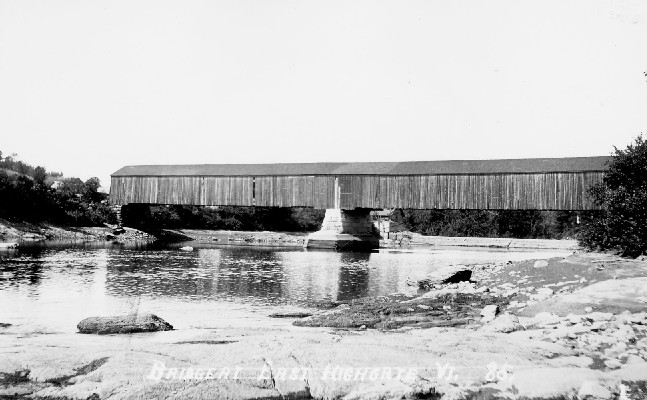
Bridge at East Highgate, Franklin County, VT Lost 1927
Eastern Illustrating Postcard, Richard E. Roy Collection


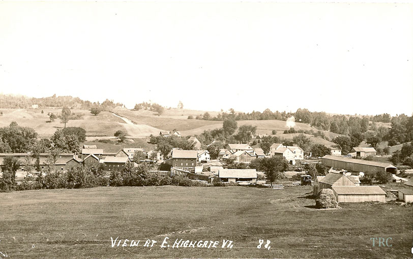
East Highgate Bridge, Highgate, Franklin County, VT Built 1850 Flood Nov 1927
Todd Clark Collection

Comments:
Per the St. Albans Weekly Messenger, September 17, 1908, "The town is taking advantage of the low water in the Missisquoi river and is repairing the pier of the long covered bridge in this place." During the 1927 flood, this bridge floated downstream and broke up when it crashed into the iron bridge at Highgate Falls. The remains went under the iron bridge and over the dam.
Sources:
St. Albans Weekly Messenger, September 17, 1908.
Walter, Charles T.. Light and Shadows of the Flood of 1927, 1928, page 107

Compilation © 2024 Covered Spans of Yesteryear

The images in this collection may be protected under copyright law and may only be used for educational, teaching, and research purposes.
If the intended use is beyond these purposes, it is the responsibility of the user to obtain the appropriate permissions from the owner stated in the image's credits.


Home | Copyright Notice | Reports | Credits | Unidentified Bridges | FAQ | Links

www.lostbridges.org