| Inventory Number: | VT/45-10-10x | | County: | Orleans County | | Township: | Charleston | | Town/Village: | West Charleston | | Bridge Name: | Upper or Plunkett | | Crosses: | Clyde River | | Truss type: | Long, Adaptation | | Spans: | 1 | | Length: | | | Roadway Width: | | | Built: | bef 1901 | | Builder: | | | When Lost: | 1947 | | Cause: | | | Latitude: | N44 53.05 | | Longitude: | W072 03.36 | | See a map of the area
Topographic map of the area | | Directions: | About 1.5 miles southeast of West Charleston between Charleston Pond and Pensioner Pond. |
|
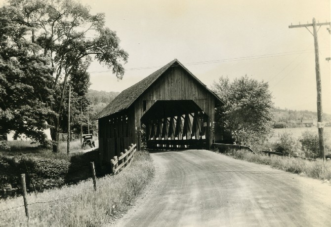
Upper or Plunkett Bridge, Charleston, Orleans County, VT Lost 1947
Richard Sanders Allen Collection, NSPCB Archives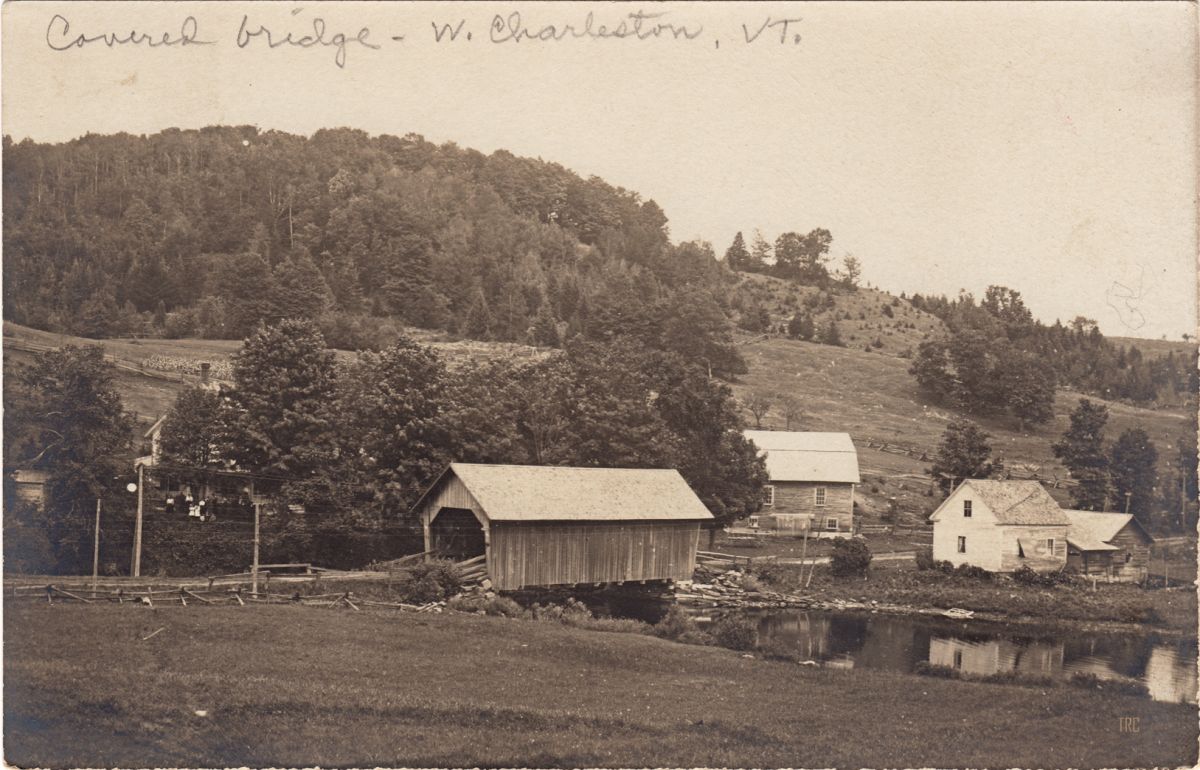
Upper or Plunkett Bridge, Charleston, Orleans County, VT Lost 1947
Todd Clark Collection
|