| Inventory Number: | TN/42-30-01 | | County: | Greene County | | Township: | | | Town/Village: | Warrensburg | | Bridge Name: | Bible or Chucky | | Crosses: | Little Chucky Creek | | Truss type: | Queen | | Spans: | 1 | | Length: | 57' | | Roadway Width: | | | Built: | 1922 or 1923 | | Builder: | A.A. McLean | | When Lost: | standing | | Cause: | | | Latitude: | N36 07.451 | | Longitude: | W083 03.192 | | See a map of the area
Topographic map of the area | | Directions: | 1.7 miles east of TN340 on TN349 (Warrensburg Rd.), then 390 feet left on Denver Bible Rd. and left into parking area for bridge on a bypassed section of road. |
|
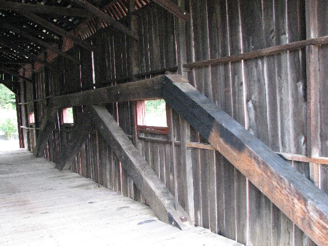
Bible or Chucky Bridge, Warrensburg, Greene County, TN Built 1922
Bill Caswell Photo, July 27, 2008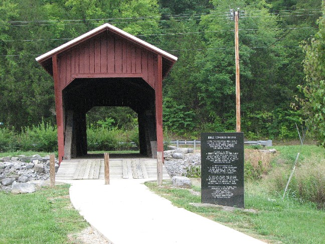
Bible or Chucky Bridge, Warrensburg, Greene County, TN Built 1922
Bill Caswell Photo, July 27, 2008
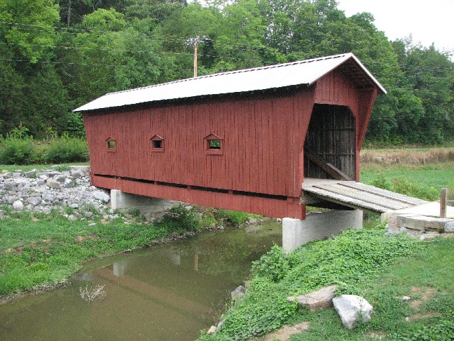
Bible or Chucky Bridge, Warrensburg, Greene County, TN Built 1922
Bill Caswell Photo, July 27, 2008
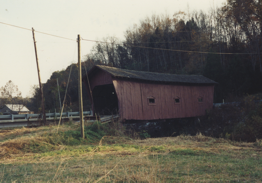
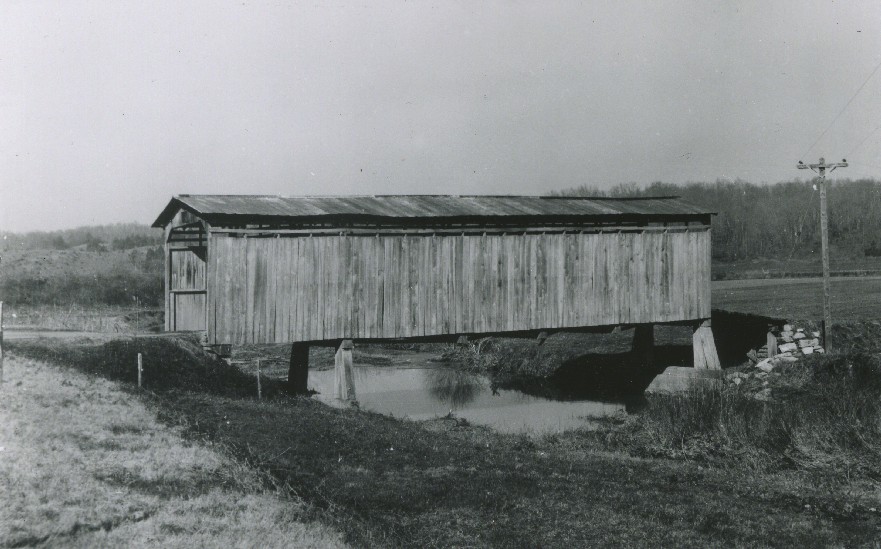
Bible or Chucky Bridge, Warrensburg, Greene County, TN Built 1922 or 1923
October 1991 Photo, Palmer Werner Collection
Bible or Chucky Bridge, Warrensburg, Greene County, TN Built 1922 or 1923
Richard E. Roy Collection
|