| Inventory Number: | PA/38-67-13x | | County: | York County | | Township: | Manchester | | Town/Village: | | | Bridge Name: | Myers Mill | | Crosses: | Codorus Creek | | Truss type: | Burr | | Spans: | 1 | | Length: | 118' or 123' | | Roadway Width: | | | Built: | | | Builder: | | | When Lost: | 1955 | | Cause: | Removed | | Latitude: | N40 00.82 | | Longitude: | W076 42.86 | | See a map of the area
Topographic map of the area | | Directions: | 0.2 miles south of Emigsville on PA181, then 0.8 miles left on Emig Rd., then 0.1 miles left on LR66021. 1 mile east of Emigsville. |
|
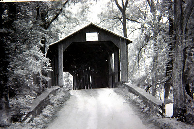
Myers Mill Bridge, Manchester-Springettsbury, York County, PA Removed 1955
Fred Yenerall Photo (1953)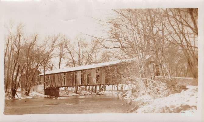
Myers Mill Bridge, Manchester-Springettsbury, York County, PA Removed 1955
Todd Clark Collection
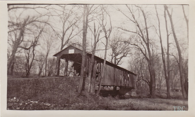
Myers Mill Bridge, Manchester-Springettsbury, York County, PA Removed 1955
Todd Clark Collection
|