Hubler or Lewisburg Penitentiary Bridge, Kelly, Union County, PA. Built 1850
Richard Donovan / Trish Kane Collection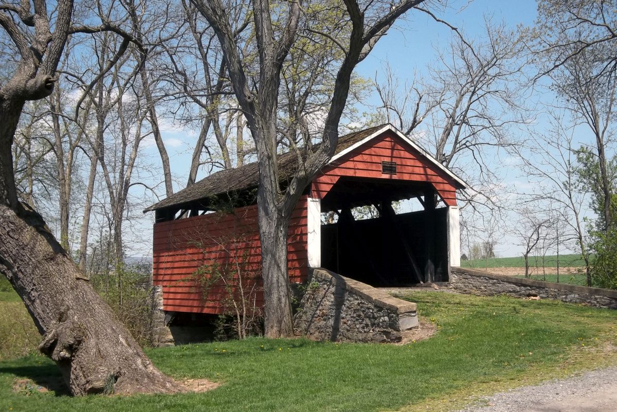
Hubler or Lewisburg Penitentiary Bridge, Kelly, Union County, PA. Built 1850
Jenn Caswell Photo, May 4, 2015
Hubler or Lewisburg Penitentiary Bridge, Kelly, Union County, PA. Built 1850
Bill Caswell Photo, May 4, 2015
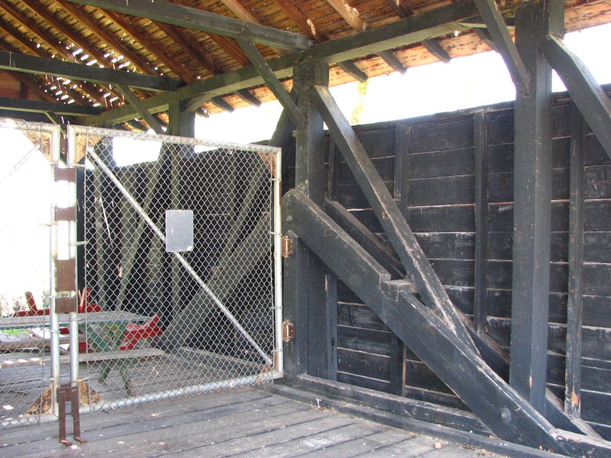
Hubler or Lewisburg Penitentiary Bridge, Kelly, Union County, PA. Built 1850
Bill Caswell Photo, May 4, 2015
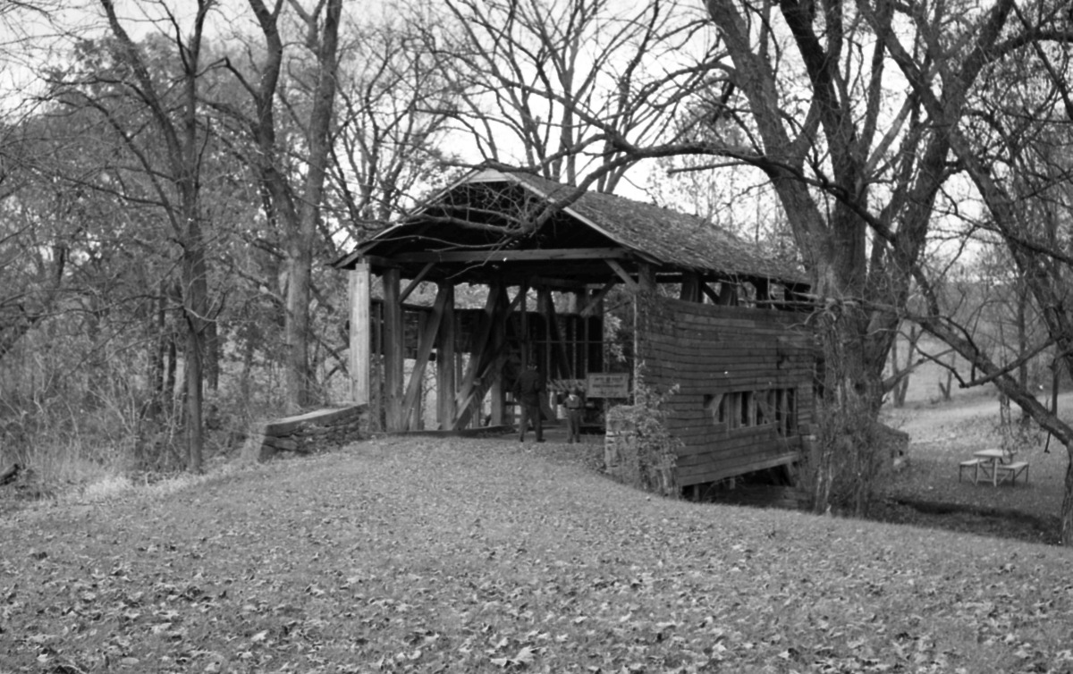
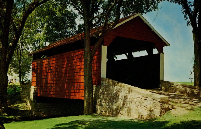
Hubler or Lewisburg Penitentiary Bridge, Kelly, Union County, PA. Built 1850
Herbert Richter Photo, 1957, NSPCB Archives
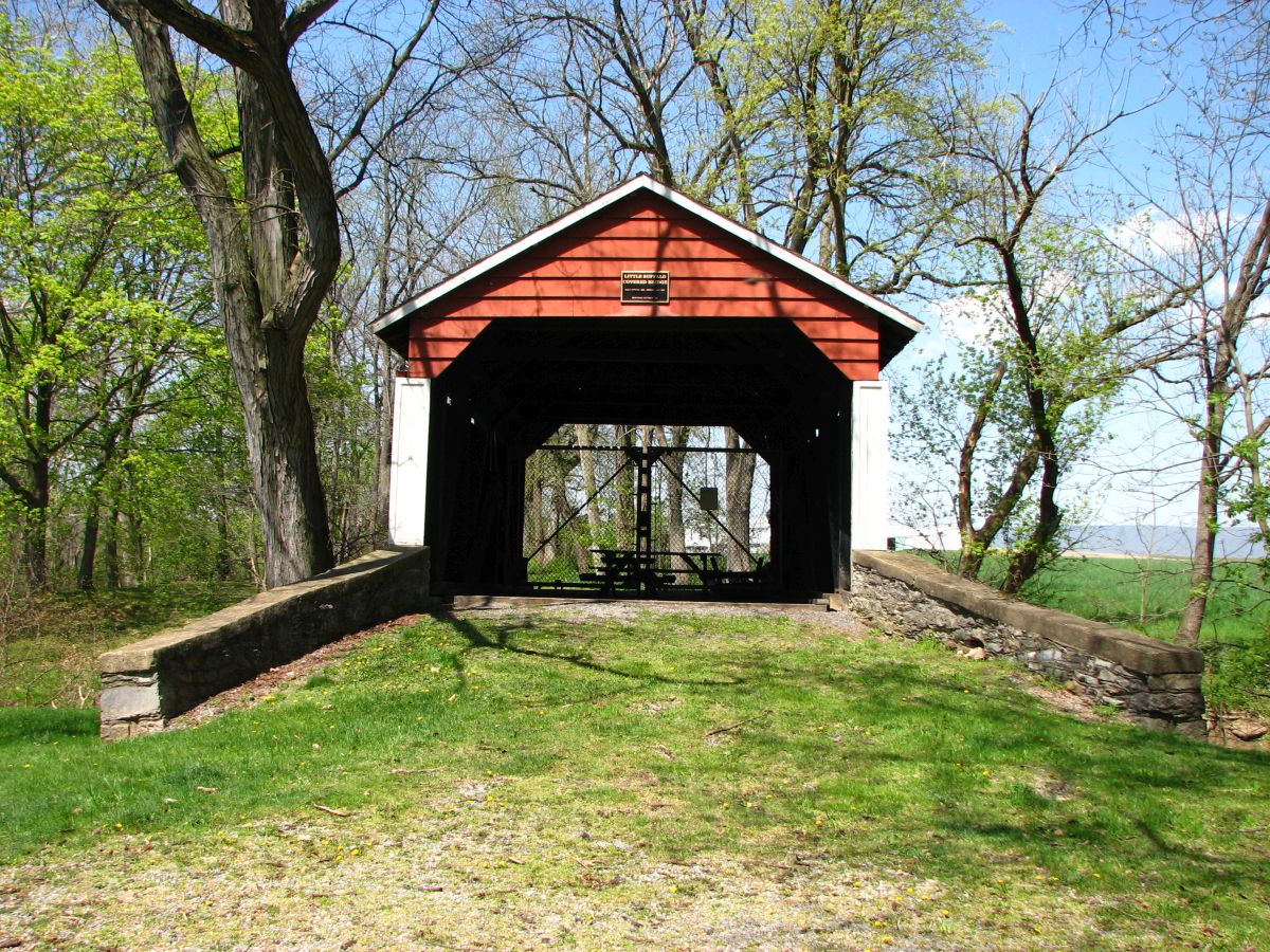
Hubler or Lewisburg Penitentiary Bridge, Kelly, Union County, PA. Built 1850
Jeff Smith Photo, Spring 2025