| Inventory Number: | PA/38-28-01 | | County: | Franklin County | | Township: | Antrim | | Town/Village: | | | Bridge Name: | Martin's Mill or Shindle | | Crosses: | Conococheague Creek | | Truss type: | Town | | Spans: | 2 | | Length: | 206' span, 225' overall | | Roadway Width: | 16' | | Built: | 1839 or 1849 | | Builder: | Jacob Shirk | | When Lost: | standing | | Cause: | | | Latitude: | N39 45.894 | | Longitude: | W077 46.543 | | See a map of the area
Topographic map of the area | | Directions: | 0.6 miles west of US11 on PA16, then 3.2 miles left on Grant Shook Rd. and 0.6 miles right on E Weaver Rd. to Martins Mill Bridge Park. Southwest of Greencastle. |
|
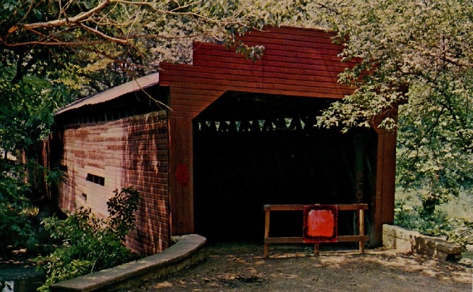
Martin's Mill or Shindle Bridge, Antrim, Franklin County, PA. Built 1849
Richard Donovan / Trish Kane Collection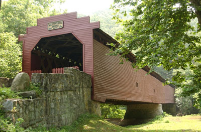
Martin's Mill or Shindle Bridge, Antrim, PA. Built 1849
© Lisa Plamondon
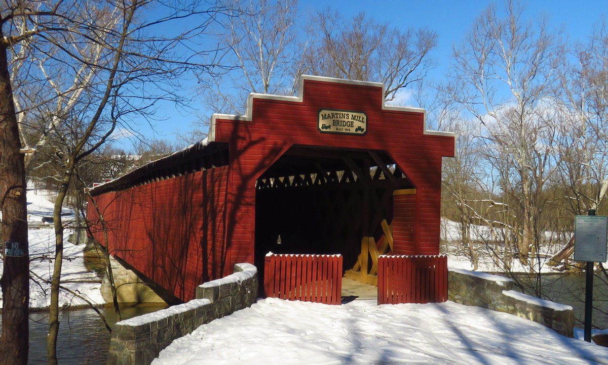
Martin's Mill or Shindle Bridge, Antrim, PA. Built 1849
Bill Caswell Photo, January 21, 2019
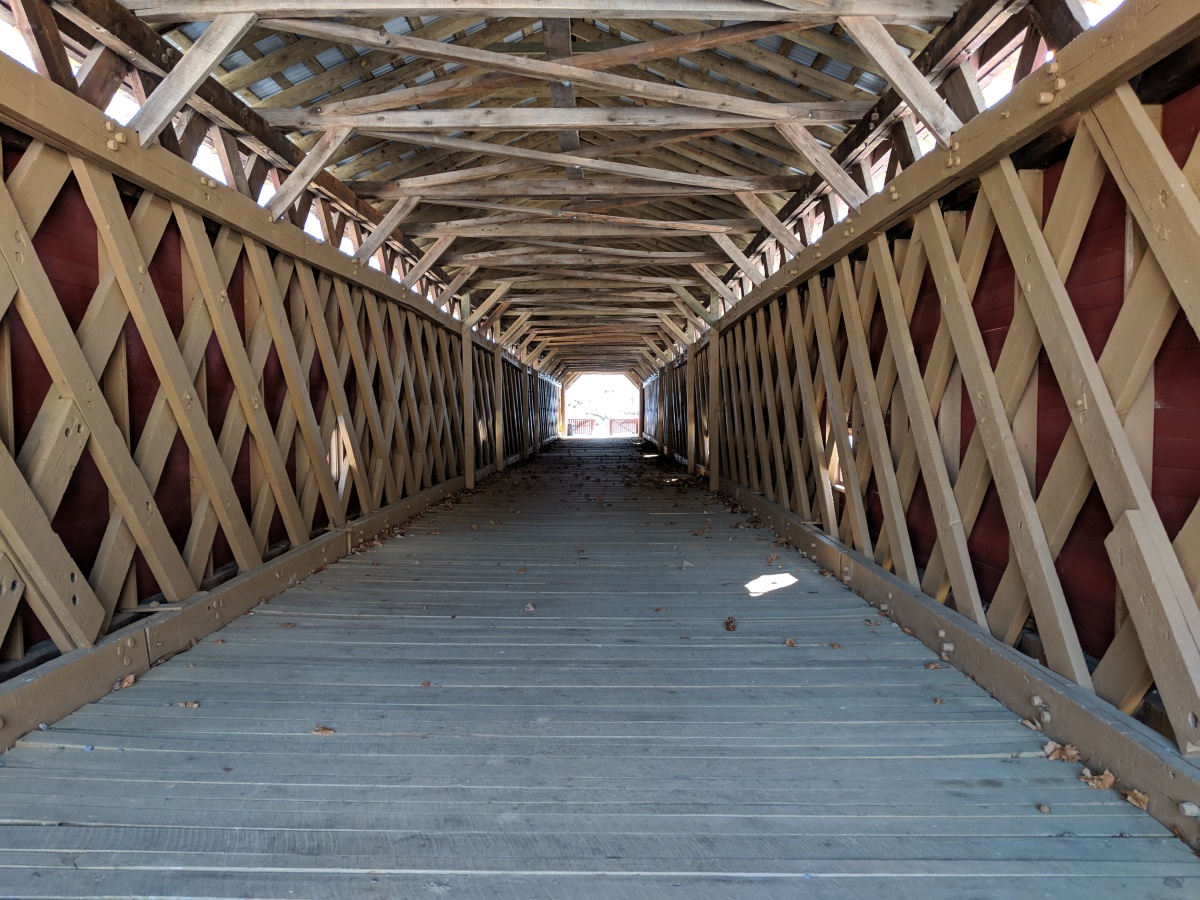
Martin's Mill or Shindle Bridge, Antrim, PA. Built 1849
Bill Caswell Photo, January 21, 2019
|
Sources:
Evans, Benjamin D. & June R.. Pennsylvania's Covered Bridges, 2001, page 132
The Hagerstown Morning Herald, Saturday, September 11, 1965, Page 2
Echo Pilot, Thursday, November 15, 1962, Pages 1 & 4
Echo-Pilot, July 17, 2024
Unger, Frederick Fleming. Old Bridges of Franklin County, PA, 1941, Number 27
Moll, Fred J.. Pennsylvania's Covered Bridges - Our Heritage, 2004, pages 9, 100-101
Kipphorn, Thomas. Information received by email, October 2007
National Society for the Preservation of Covered Bridges. World Guide to Covered Bridges, 2021, page 112 |