| Inventory Number: | PA/38-15-11#2 | | County: | Chester County | | Township: | Upper Uwchlan | | Town/Village: | North of Downington | | Bridge Name: | Larkin's Mill (original location) | | Crosses: | Marsh Creek | | Truss type: | Burr | | Spans: | 1 | | Length: | 77' overall, 65' span | | Roadway Width: | 14' 6" | | Built: | 1881 | | Builder: | Menander & Ferdinand Wood | | When Lost: | 1971 | | Cause: | Moved | | Latitude: | N40 03.63 | | Longitude: | W075 43.33 | | See a map of the area
Topographic map of the area | | Directions: | On Larkin's Mill Road (T439). The site is now some 60 feet under the Marsh Creek Reservoir. |
|
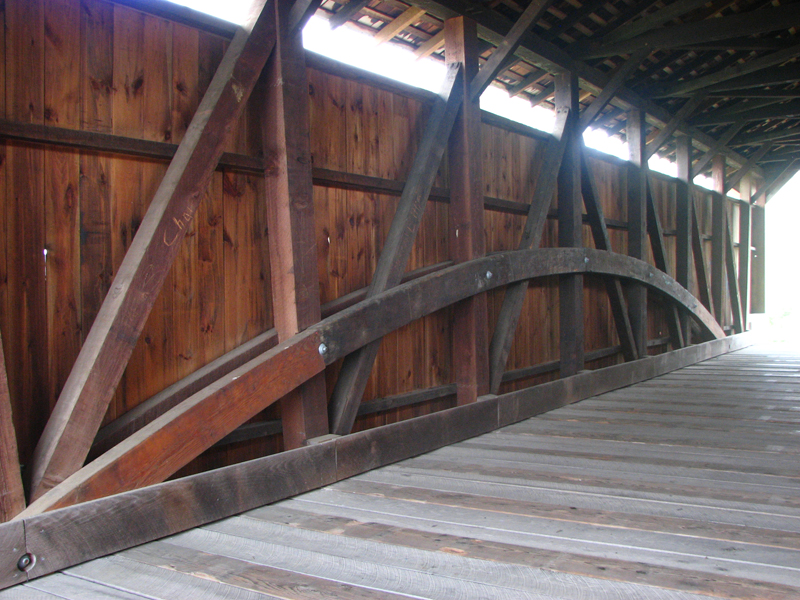
Larkin's Mill Bridge (relocation #2), Upper Uwchlan, Chester County, PA. Built 1881 (M1972 & 2006)
Bill Caswell Photo, April 21, 2012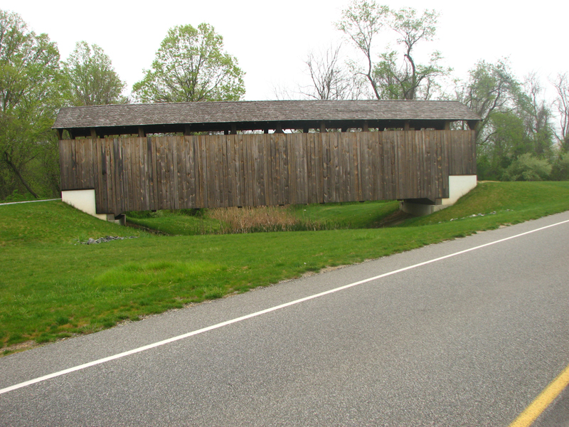
Larkin's Mill Bridge (relocation #2), Upper Uwchlan, Chester County, PA. Built 1881 (M1972 & 2006)
Bill Caswell Photo, April 21, 2012
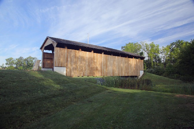
Larkin's Mill Bridge (relocation #2), Upper Uwchlan, Chester County, PA. Built 1881 (M1972 & 2006)
Bob Sheldon Photo, August 27, 2008
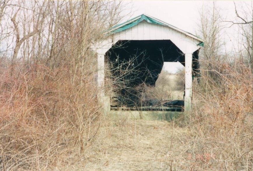
Larkin's Mill Bridge (relocation #1), Chester County, PA. Built 1881 (M1972)
Jackson Betz Photo, March 2004
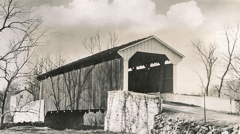
Larkin's Mill Bridge, Upper Uwchlan, Chester County, PA. Built 1881 (M1972 & 2006)
Todd Clark Collection
|
Sources:
Evans, Benjamin D. & June R.. Pennsylvania's Covered Bridges, 2001, page 79
James, Arthur E.. Covered Bridges of Chester County, PA, 1976, page 86
Zebley, Frank R., Along the Brandywine, 1940.
Travis, Dale. Pennsylvania Covered Bridges List, updated to 26 Aug 2004, http://www.dalejtravis.com/cblist/cbpa.htm (23 Sep 2004)
National Society For the Preservation of Covered Bridges. Covered Bridge Topics, Volume XXXIX, No. 3, Summer 1981, page 12
Moll, Fred J.. Pennsylvania's Covered Bridges - Our Heritage, 2004, pages 86-87
Kipphorn, Thomas. Information received by email, May 2007
National Society for the Preservation of Covered Bridges. World Guide to Covered Bridges, 2021, page 105 |