| Inventory Number: | PA/38-13-01 | | County: | Carbon County | | Township: | Towamensing | | Town/Village: | | | Bridge Name: | Harrity or Bucks (relocated) | | Crosses: | dry land | | Truss type: | Multiple King | | Spans: | 1 | | Length: | 87' overall, 66' span | | Roadway Width: | 13' | | Built: | 1841 (M1971) | | Builder: | Paul Buck | | When Lost: | standing | | Cause: | | | Latitude: | N40 51.651 | | Longitude: | W075 37.677 | | See a map of the area
Topographic map of the area | | Directions: | 0.1 miles north of US209 at its jct with I-476 on Harrity Rd., 3.0 miles right on Pohopoco Dr. and 0.2 miles right at entrance to Beltzville State Park, 360 feet right, then 0.1 miles left to parking lot. Walk 150 feet northwest. Northeast of Weissport. |
|
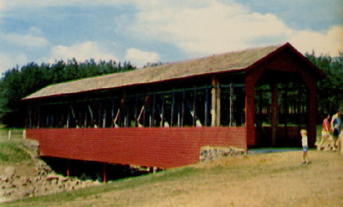
Harrity or Bucks Bridge (relocated location), Franklin, PA. Built c1898
Richard Donovan / Trish Kane Collection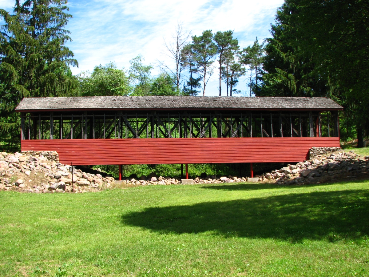
Harrity or Bucks Bridge (relocated location), Franklin, PA. Built c1898
Bill Caswell Photo, June 13, 2016
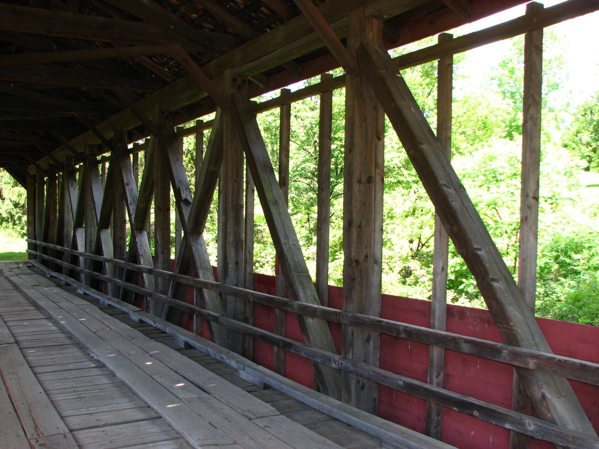
Harrity or Bucks Bridge (relocated location), Franklin, PA. Built c1898
Bill Caswell Photo, June 13, 2016
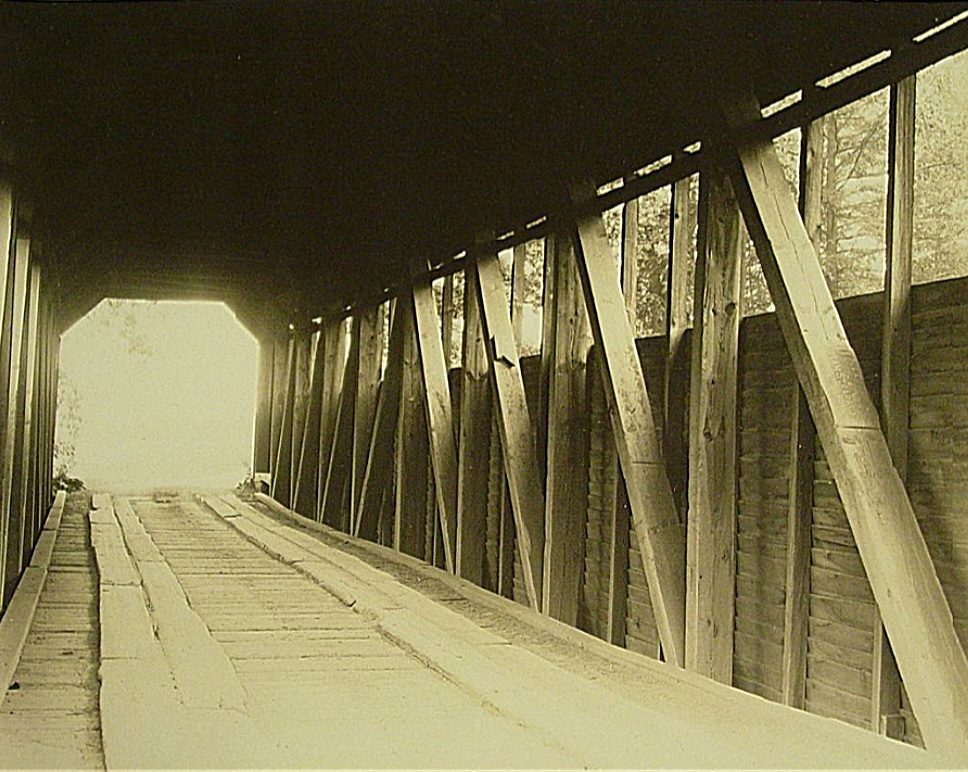
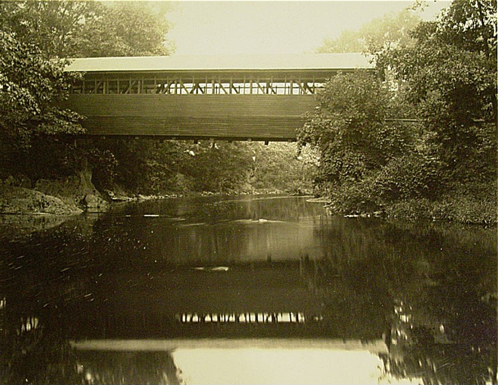
Harrity or Bucks (original location) Bridge, Towamensing, Carbon County, PA Built c1898 or 1841 Moved 1968
Bucknell University: Nelson F. Davis Covered Bridges Photograph Collection, September 2, 1936
Harrity or Bucks (original location) Bridge, Towamensing, Carbon County, PA Built c1898 or 1841 Moved 1968
Bucknell University: Nelson F. Davis Covered Bridges Photograph Collection, September 2, 1936
|
Sources:
Evans, Benjamin D. & June R.. Pennsylvania's Covered Bridges, 2001, page 70
Travis, Dale. Pennsylvania Covered Bridges List, updated to 26 Aug 2004, http://www.dalejtravis.com/cblist/cbpa.htm (23 Sep 2004)
National Society For the Preservation of Covered Bridges. Covered Bridge Topics, Volume XXXIX, No. 3, Summer 1981, page 12
Moll, Fred J.. Pennsylvania's Covered Bridges - Our Heritage, 2004, pages 84-85
Kipphorn, Thomas. Information received by email, January 2008
National Society for the Preservation of Covered Bridges. World Guide to Covered Bridges, 2021, page 104 |