| Inventory Number: | OR/37-20-04 | | County: | Lane County | | Township: | Richardson | | Town/Village: | Linslaw (Walton?) | | Bridge Name: | Wildcat Creek or Austa | | Crosses: | Wildcat Creek | | Truss type: | Howe | | Spans: | 1 | | Length: | 75' | | Roadway Width: | | | Built: | 1925 | | Builder: | Lane County | | When Lost: | standing | | Cause: | | | Latitude: | N44 00.178 | | Longitude: | W123 39.303 | | See a map of the area
Topographic map of the area | | Directions: | 12.1 miles east of jct OR 36 on OR126 to Whitaker Creek/ Clay Creek Recreation Area, then 350' right on Siuslaw Rd and 0.1 miles right on Austa Rd. under OR126 and railroad tracks. East of Mapleton. |
|
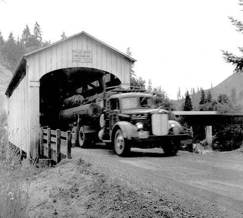
Wildcat Bridge, Linslaw, Lane County, OR Built 1925
Ben Maxwell Collection, Salem Library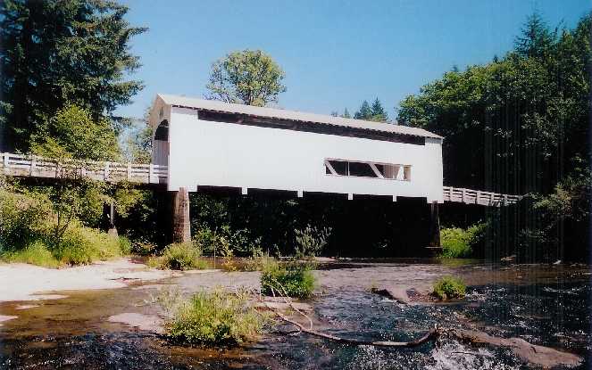
Wildcat Bridge, Linslaw, Lane County, OR Built 1925
Bill Caswell Photo, June 2006
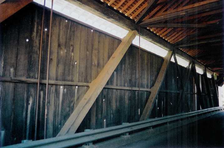
Wildcat Bridge, Linslaw, Lane County, OR Built 1925
Bill Caswell Photo, June 2006
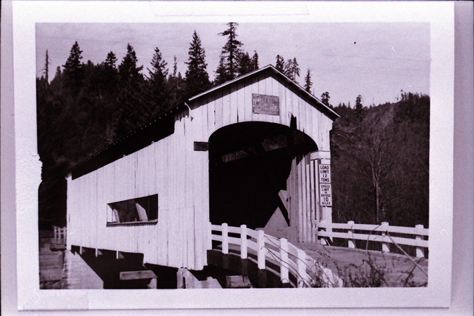
Wildcat Bridge, Linslaw, Lane County, OR Built 1925
Courtesy Bill Cockrell
|
Sources:
Cockrell, Bill & Nick. Roofs Over Rivers - the New Guide to Oregon's Covered Bridges, 1989, Page 35
Cockrell, Nick & Bill. Roofs Over Rivers - A Guide to Oregon's Covered Bridges, 1978, page 35
National Society for the Preservation of Covered Bridges. World Guide to Covered Bridges, 2021, page 91 |