| Inventory Number: | NB/55-14-06#2x | | County: | Westmorland County | | Township: | Dorchester | | Town/Village: | | | Bridge Name: | Upper Dorchester or Memramcook River #1 | | Crosses: | Memramcook River | | Truss type: | Howe | | Spans: | 5 | | Length: | 848' | | Roadway Width: | | | Built: | 1924 | | Builder: | | | When Lost: | 10 Jan 1978 | | Cause: | Destroyed | | Latitude: | N45 56.41 | | Longitude: | W064 31.84 | | See a map of the area
Topographic map of the area | | Directions: | Off route 6 on Taylor Village Road. |
|

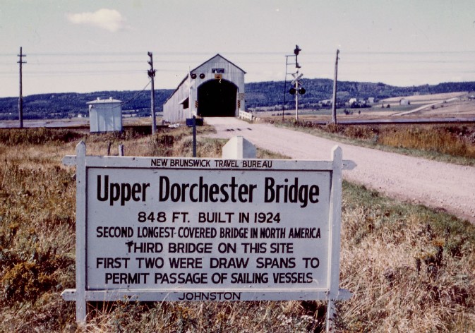
Upper Dorchester Bridge, Westmoreland County, NB Destroyed 10 Jan 1978
Raymond Brainerd Photo (1964), Richard E. Roy Collection
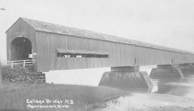
Upper Dorchester or Memramcook River #1 Bridge, Dorchester, Westmoreland County, NB Built 1924 Destroyed 10 Jan 1978
Richard E. Roy Collection

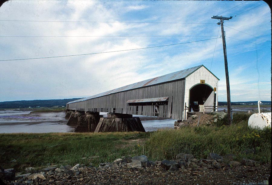
Upper Dorchester or Memramcook River #1 Bridge, Dorchester, Westmorland County, NB Built 1924 Destroyed 10 Jan 1978
Fred Wunsch Photo
|
Sources:
Lane, Oscar F.. World Guide to Covered Bridges, 1972, page 93
National Society For the Preservation of Covered Bridges. Covered Bridge Topics, Volume XXXX, No. 1, Winter 1982, page 13
New Brunswick Travel Bureau. Covered Bridges of New Brunswick (Canada), undated (mid 1950s), page 24 |