| Inventory Number: | MO/25-58-01 | | County: | Linn County | | Township: | | | Town/Village: | Laclede | | Bridge Name: | Locust Creek (relocated) | | Crosses: | Locust Creek | | Truss type: | Howe | | Spans: | 1 | | Length: | 151' | | Roadway Width: | | | Built: | 1868 (M2025) | | Builder: | Bishop & Eaton | | When Lost: | standing | | Cause: | | | Latitude: | N39 47.530 | | Longitude: | W093 14.042 | | See a map of the area
Topographic map of the area | | Directions: | |
|
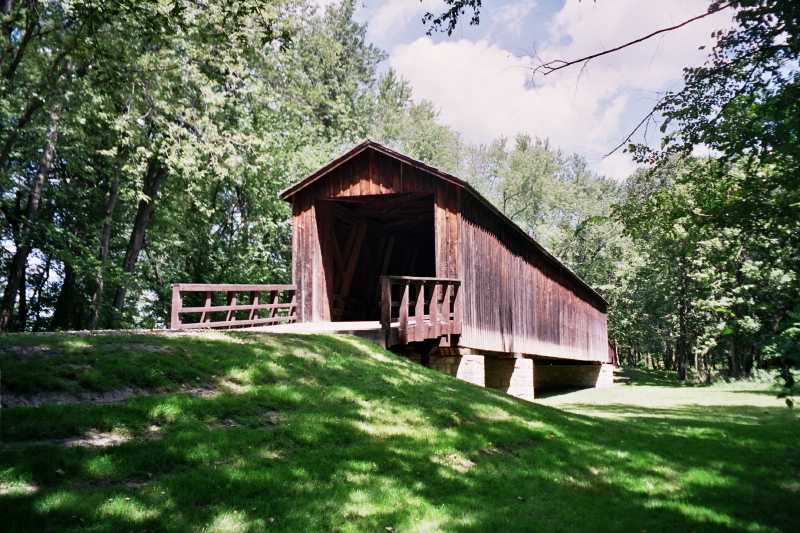
Locust Creek Bridge (original location), near Meadeville, Linn County, MO. Built 1868, Moved February 26, 2025
Bill Caswell Photo, August 2004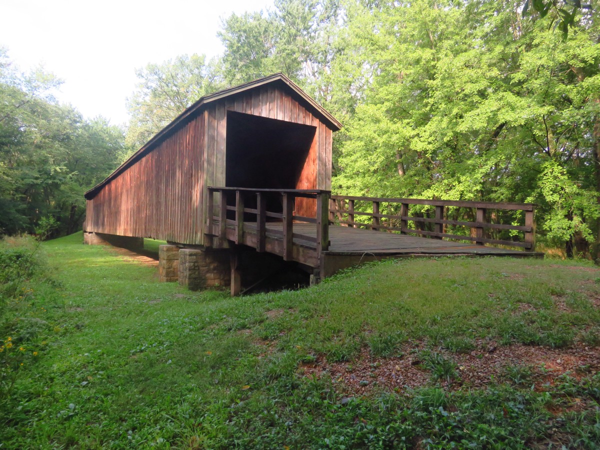
Locust Creek Bridge (original location), near Meadeville, Linn County, MO. Built 1868, Moved February 26, 2025
Bill & Jenn Caswell Photo, September 1, 2018
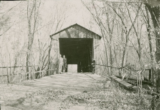
Locust Creek Bridge (original location), near Meadeville, Linn County, MO. Built 1868, Moved February 26, 2025
Richard Donovan/Trish Kane Collection
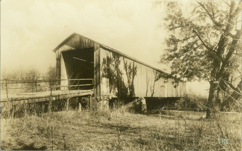
Locust Creek Bridge (original location), near Meadeville, Linn County, MO. Built 1868, Moved February 26, 2025
Todd Clark Collection
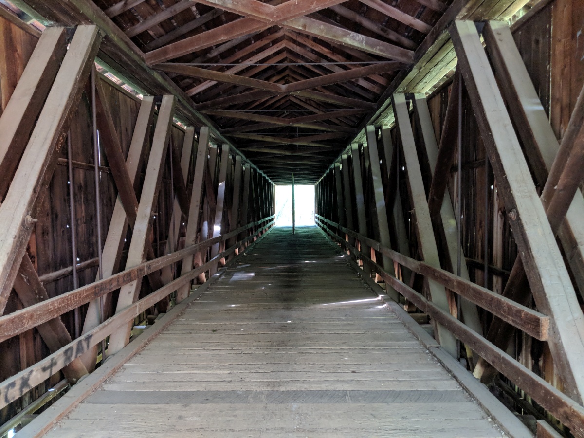
Locust Creek Bridge (original location), near Meadeville, Linn County, MO. Built 1868, Moved February 26, 2025
Bill & Jenn Caswell Photo, September 1, 2018
|
Sources:
The Chillicothe Constitution-Tribune, April 1, 1927, page 1.
National Society For the Preservation of Covered Bridges. Covered Bridge Topics, Volume XV, No. 2, July 1957, page 4
National Society for the Preservation of Covered Bridges. World Guide to Covered Bridges, 2021, page 43 |