| Inventory Number: | CA/05-22-01 | | County: | Mariposa County | | Township: | Wawona | | Town/Village: | Yosemite National Park | | Bridge Name: | Wawona | | Crosses: | South Fork Merced River | | Truss type: | Queen | | Spans: | 1 | | Length: | 138' | | Roadway Width: | 15' | | Built: | 1868 | | Builder: | Galen Clark | | When Lost: | standing | | Cause: | | | Latitude: | N37 32.317 | | Longitude: | W119 39.357 | | See a map of the area
Topographic map of the area | | Directions: | 4.8 miles north-northwest of south entrance to park (end of CA41) on Wawona Rd., then right on Forest Dr. 0.1 miles to the bridge 150' off the left side of road. South edge of Wawona. |
|
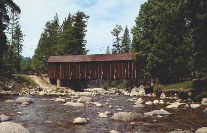
Wawona Bridge, Yosemite National Park, Mariposa County, CA Built 1858
Richard Donovan Collection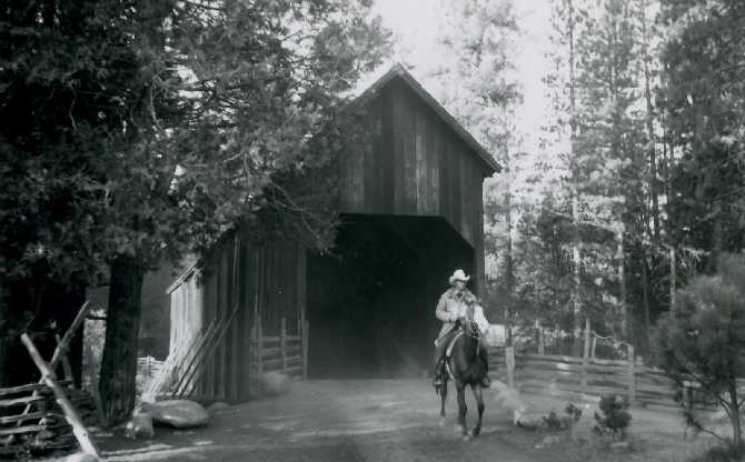
Wawona Bridge, Yosemite National Park, Mariposa County, CA Built 1858
© Joseph D. Conwill
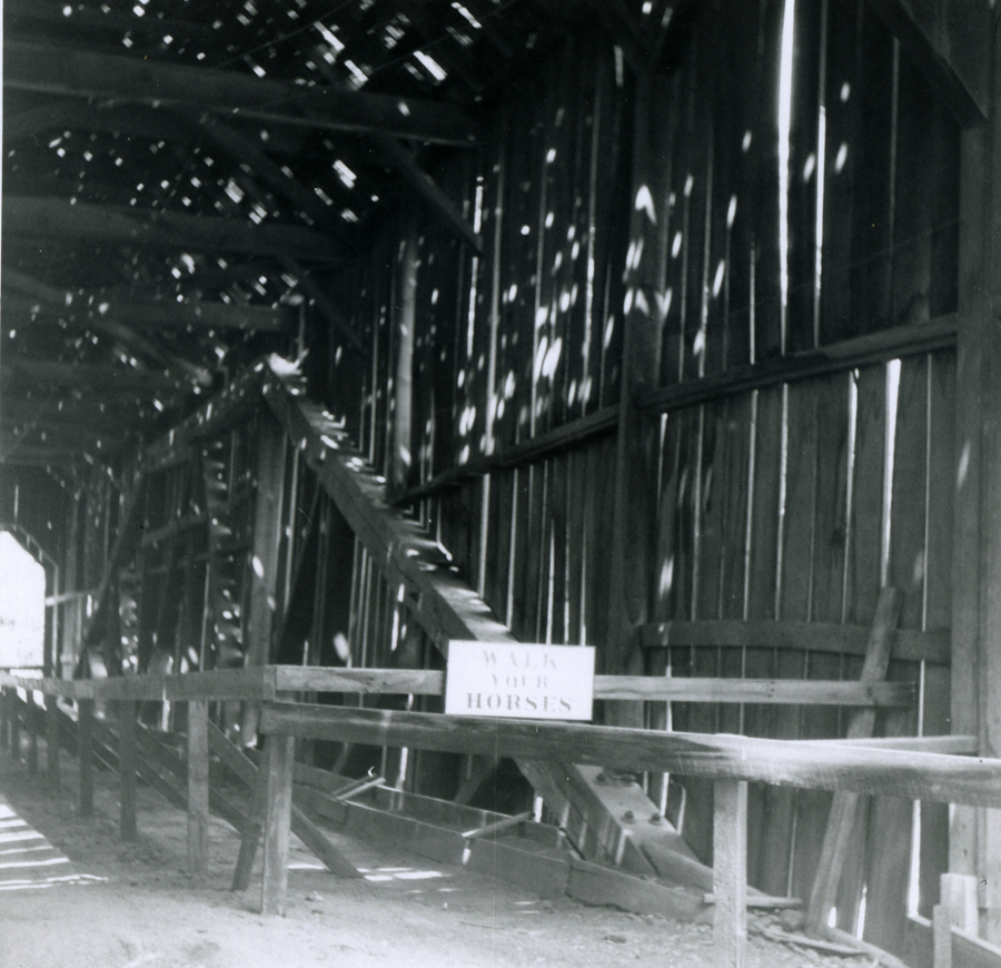
Wawona Bridge, Yosemite National Park, Mariposa County, CA Built 1858
Richard Sanders Allen Collection, NSPCB Archives
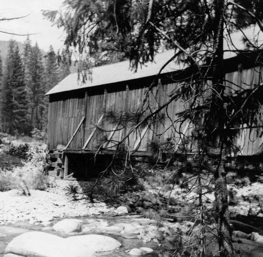
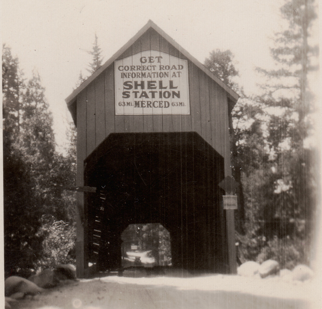
Wawona Bridge, Yosemite National Park, Mariposa County, CA Built 1858
1955 Photo, Richard Sanders Allen Collection, NSPCB Archives
Wawona Bridge, Yosemite National Park, Mariposa County, CA Built 1858
Todd Clark Collection
|
Sources:
Morley, Griswold. The Covered Bridges of California, 1938, pages 46-47 & 91
Adams, Kramer. Covered Bridges of the West: A History and Illustrated Guide, 1963, pages 60, 61, 67 & 131
List of Known Covered Bridges in California as of June 1938, State of California, Bridge Department
National Society for the Preservation of Covered Bridges. World Guide to Covered Bridges, 2021, page 3 |