| Inventory Number: | CA/05-29-01 | | County: | Nevada County | | Township: | Penn Valley | | Town/Village: | | | Bridge Name: | Bridgeport | | Crosses: | South Fork Yuba River | | Truss type: | Howe & Arch | | Spans: | 1 | | Length: | 226'-4" roofline, 210' span | | Roadway Width: | 18' | | Built: | 1862 | | Builder: | J.W. Woods | | When Lost: | standing | | Cause: | | | Latitude: | N39 17.570 | | Longitude: | W121 11.696 | | See a map of the area
Topographic map of the area | | Directions: | 7.6 miles northwest of jct CA49 on CA20, then 7.7 miles right on Pleasant Valley Rd. and left into the parking lot of South Yuba State Park. |
|
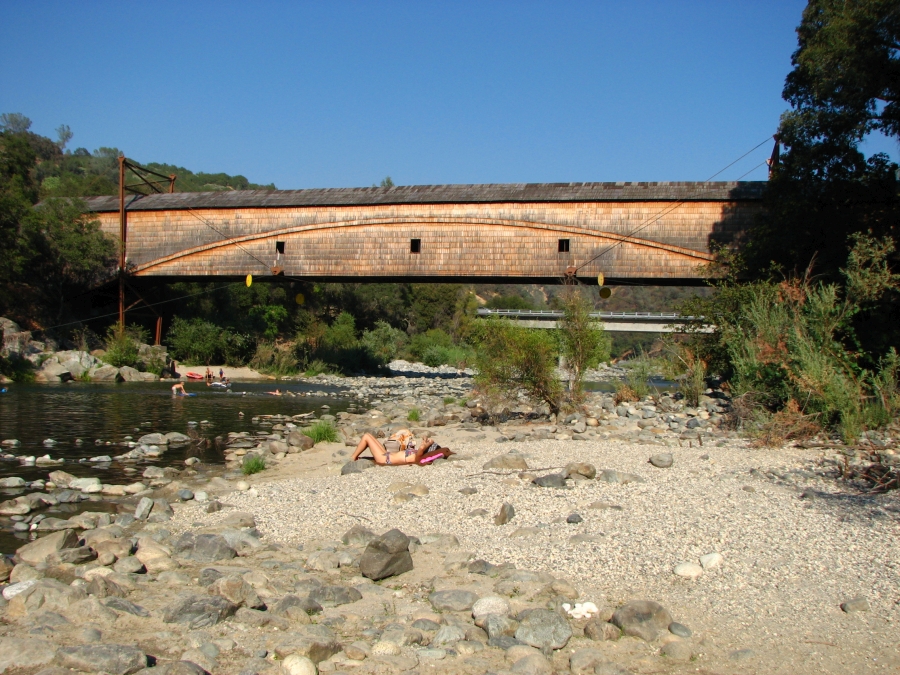
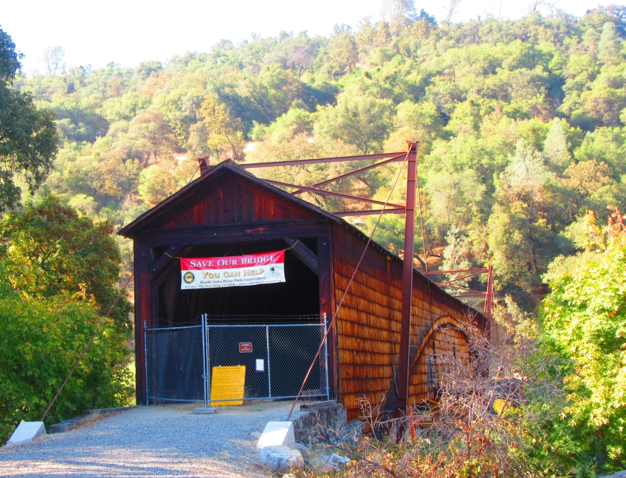
Bridgeport Bridge, Bridgeport, Nevada County, CA Built 1862
Bill Caswell Photo, August 31, 2017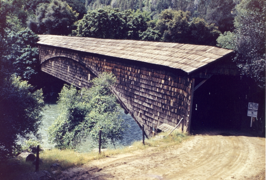
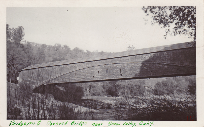
Bridgeport Bridge, Bridgeport, Nevada County, CA Built 1862
Richard Sanders Allen Collection, NSPCB Archives
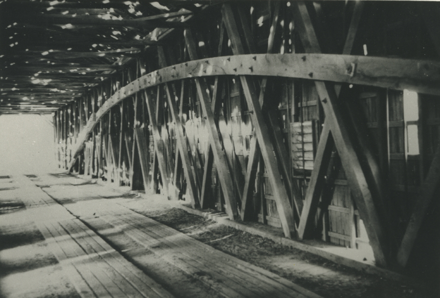
Bridgeport Bridge, Bridgeport, Nevada County, CA Built 1862
Richard Sanders Allen Collection, NSPCB Archives
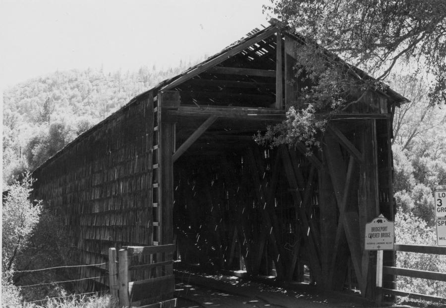
Bridgeport Bridge, Bridgeport, Nevada County, CA Built 1862
Richard Sanders Allen Collection, NSPCB Archives
Bridgeport Bridge, Bridgeport, Nevada County, CA Built 1862
Jenn Caswell Photo, August 31, 2017
Bridgeport Bridge, Bridgeport, Nevada County, CA Built 1862
Todd Clark Collection
|
Sources:
Morley, Griswold. The Covered Bridges of California, 1938, pages 50-51 & 91
Adams, Kramer. Covered Bridges of the West: A History and Illustrated Guide, 1963, pages 131, 135 & 138
List of Known Covered Bridges in California as of June 1938, State of California, Bridge Department
National Society for the Preservation of Covered Bridges. World Guide to Covered Bridges, 2021, page 3 |